
Lontzen topographic map
Interactive map
Click on the map to display elevation.
About this map
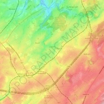
Name: Lontzen topographic map, elevation, terrain.
Location: Lontzen, Verviers, Lüttich, Wallonien, Belgien (50.64959 5.95464 50.70362 6.07277)
Average elevation: 255 m
Minimum elevation: 170 m
Maximum elevation: 330 m