
伊仙町old topographic map
Interactive map
Click on the map to display elevation.
About this map
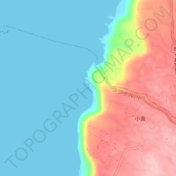
Name: 伊仙町old topographic map, elevation, terrain.
Location: 伊仙町old, Ōshima Bezirk, Präfektur Kagoshima, Japan (27.74941 128.90135 27.74962 128.90151)
Average elevation: 60 m
Minimum elevation: 0 m
Maximum elevation: 176 m
Other topographic maps
Click on a map to view its topography, its elevation and its terrain.