
Fähnerenspitz topographic map
Interactive map
Click on the map to display elevation.
About this map
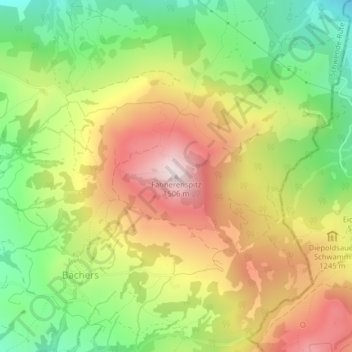
Name: Fähnerenspitz topographic map, elevation, terrain.
Location: Fähnerenspitz, Rüte, Appenzell Innerrhoden, 9058, Schweiz (47.31422 9.48078 47.31432 9.48088)
Average elevation: 1,175 m
Minimum elevation: 890 m
Maximum elevation: 1,490 m