
Gʻijduvon topographic map
Interactive map
Click on the map to display elevation.
About this map
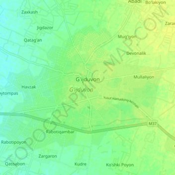
Name: Gʻijduvon topographic map, elevation, terrain.
Location: Gʻijduvon, Provinz Buchara, Usbekistan (40.07852 64.63951 40.12113 64.71691)
Average elevation: 260 m
Minimum elevation: 252 m
Maximum elevation: 266 m