
Alida topographic map
Interactive map
Click on the map to display elevation.
About this map
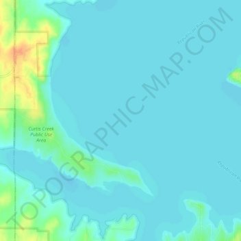
Name: Alida topographic map, elevation, terrain.
Location: Alida, Geary County, Kansas, United States of America (39.07583 -96.96029 39.11583 -96.92029)
Average elevation: 351 m
Minimum elevation: 345 m
Maximum elevation: 384 m