
Thank you for supporting this site ❤️
Make a donation
Make a donation
Gunung Semangkok topographic map
Click on the map to display elevation.
Thank you for supporting this site ❤️
Make a donation
Make a donation
About this map
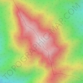
Name: Gunung Semangkok topographic map, elevation, terrain.
Location: Gunung Semangkok, Raub, Pahang, Malaisie (3.73733 101.65128 3.73743 101.65138)
Average elevation: 1,521 m
Minimum elevation: 1,152 m
Maximum elevation: 1,813 m
Thank you for supporting this site ❤️
Make a donation
Make a donation