
Arandas topographic map
Interactive map
Click on the map to display elevation.
About this map
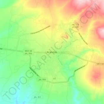
Name: Arandas topographic map, elevation, terrain.
Location: Arandas, Región Altos Sur, Jalisco, 47183, México (20.66587 -102.38791 20.74587 -102.30791)
Average elevation: 2,074 m
Minimum elevation: 1,965 m
Maximum elevation: 2,223 m