
Thank you for supporting this site ❤️
Make a donation
Make a donation
Rassagala topographic map
Click on the map to display elevation.
Thank you for supporting this site ❤️
Make a donation
Make a donation
About this map
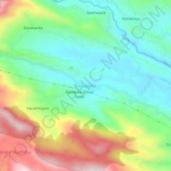
Name: Rassagala topographic map, elevation, terrain.
Location: Rassagala, Ratnapura District, Sabaragamuwa Province, Sri Lanka (6.67281 80.61859 6.71281 80.65859)
Average elevation: 684 m
Minimum elevation: 498 m
Maximum elevation: 1,017 m
Thank you for supporting this site ❤️
Make a donation
Make a donation
Other topographic maps
Click on a map to view its topography, its elevation and its terrain.