
Gruyères topographic map
Interactive map
Click on the map to display elevation.
About this map
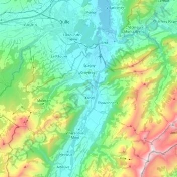
Name: Gruyères topographic map, elevation, terrain.
Location: Gruyères, Greyerzbezirk, Freiburg, 1663, Schweiz (46.54063 6.98178 46.60385 7.16189)
Average elevation: 1,136 m
Minimum elevation: 668 m
Maximum elevation: 2,373 m