
Thank you for supporting this site ❤️
Make a donation
Make a donation
Nande topographic map
Click on the map to display elevation.
Thank you for supporting this site ❤️
Make a donation
Make a donation
About this map
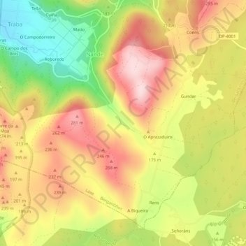
Name: Nande topographic map, elevation, terrain.
Location: Nande, Laxe, Bergantiños, A Coruña, Galicia, Spain (43.15116 -9.03731 43.18222 -8.98801)
Average elevation: 172 m
Minimum elevation: 8 m
Maximum elevation: 306 m
Thank you for supporting this site ❤️
Make a donation
Make a donation