
Mount Kemul topographic map
Interactive map
Click on the map to display elevation.
About this map
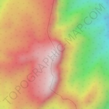
Name: Mount Kemul topographic map, elevation, terrain.
Location: Mount Kemul, North Kalimantan, Kalimantan, Indonesia (1.86597 116.17685 1.86607 116.17695)
Average elevation: 1,565 m
Minimum elevation: 1,145 m
Maximum elevation: 1,834 m
Other topographic maps
Click on a map to view its topography, its elevation and its terrain.
Tarakan
Tarakan, North Kalimantan, Kalimantan, 77112, Indonesia
Average elevation: 11 m
Batu Jumak
Batu Jumak, North Kalimantan, Indonesia
Average elevation: 1,025 m