
Kudige topographic map
Interactive map
Click on the map to display elevation.
About this map
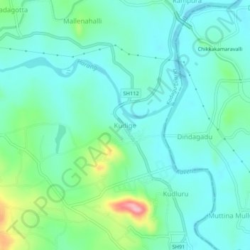
Name: Kudige topographic map, elevation, terrain.
Location: Kudige, Somawarpet taluk, Kodagu, Karnataka, 571234, India (12.47126 75.93253 12.51126 75.97253)
Average elevation: 845 m
Minimum elevation: 811 m
Maximum elevation: 966 m