
Thank you for supporting this site ❤️
Make a donation
Make a donation
Bramhanwada Pathak topographic map
Click on the map to display elevation.
Thank you for supporting this site ❤️
Make a donation
Make a donation
About this map
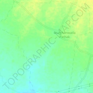
Name: Bramhanwada Pathak topographic map, elevation, terrain.
Location: Bramhanwada Pathak, Chandurbazar, Amravati, Maharashtra, India (21.27346 77.74005 21.30341 77.77260)
Average elevation: 392 m
Minimum elevation: 382 m
Maximum elevation: 403 m
Thank you for supporting this site ❤️
Make a donation
Make a donation