
Thank you for supporting this site ❤️
Make a donation
Make a donation
Puna topographic map
Click on the map to display elevation.
Thank you for supporting this site ❤️
Make a donation
Make a donation
About this map
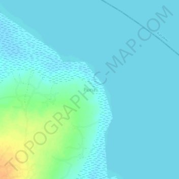
Name: Puna topographic map, elevation, terrain.
Location: Puna, Ngora, Eastern Region, Uganda (1.63047 33.85295 1.67047 33.89295)
Average elevation: 1,046 m
Minimum elevation: 1,041 m
Maximum elevation: 1,071 m
Thank you for supporting this site ❤️
Make a donation
Make a donation