
Thank you for supporting this site ❤️
Make a donation
Make a donation
Celas topographic map
Click on the map to display elevation.
Thank you for supporting this site ❤️
Make a donation
Make a donation
About this map
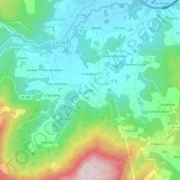
Name: Celas topographic map, elevation, terrain.
Location: Celas, Culleredo, Corunha, Galiza, 15198, Espanha (43.22966 -8.42748 43.26966 -8.38748)
Average elevation: 158 m
Minimum elevation: 22 m
Maximum elevation: 510 m
Thank you for supporting this site ❤️
Make a donation
Make a donation