
Thank you for supporting this site ❤️
Make a donation
Make a donation
Bühlertal topographic map
Click on the map to display elevation.
Thank you for supporting this site ❤️
Make a donation
Make a donation
About this map
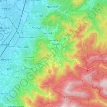
Name: Bühlertal topographic map, elevation, terrain.
Location: Bühlertal, Landkreis Rastatt, Baden-Wurtemberg, 77830, Alemania (48.63646 8.08161 48.70998 8.24875)
Average elevation: 462 m
Minimum elevation: 126 m
Maximum elevation: 1,082 m
Thank you for supporting this site ❤️
Make a donation
Make a donation