
Thank you for supporting this site ❤️
Make a donation
Make a donation
Hanting District topographic map
Click on the map to display elevation.
Thank you for supporting this site ❤️
Make a donation
Make a donation
About this map
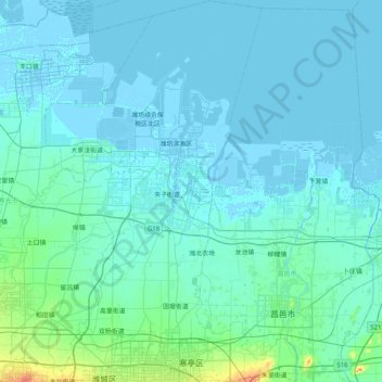
Name: Hanting District topographic map, elevation, terrain.
Location: Hanting District, Weifang, Shandong, China (36.72067 118.89318 37.37234 119.43152)
Average elevation: 6 m
Minimum elevation: -4 m
Maximum elevation: 88 m
Thank you for supporting this site ❤️
Make a donation
Make a donation