
Mater topographic map
Interactive map
Click on the map to display elevation.
About this map
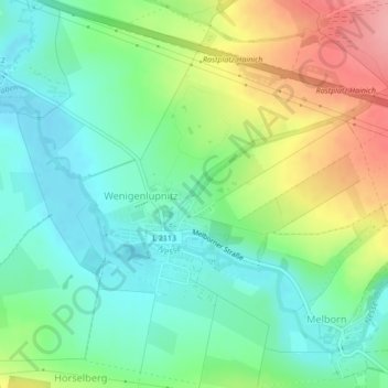
Name: Mater topographic map, elevation, terrain.
Location: Mater, Hörselberg-Hainich, Wartburgkreis, Thüringen, Duitsland (50.98423 10.43198 50.98424 10.43209)
Average elevation: 265 m
Minimum elevation: 228 m
Maximum elevation: 333 m
Other topographic maps
Click on a map to view its topography, its elevation and its terrain.
Mater
Duitsland > Thüringen > Hörselberg-Hainich
Mater, Hörselberg-Hainich, Wartburgkreis, Thüringen, 99820, Duitsland
Average elevation: 308 m