
Khajuraho topographic map
Interactive map
Click on the map to display elevation.
About this map
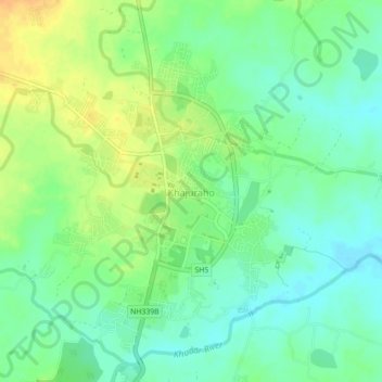
Name: Khajuraho topographic map, elevation, terrain.
Average elevation: 214 m
Minimum elevation: 200 m
Maximum elevation: 233 m
Other topographic maps
Click on a map to view its topography, its elevation and its terrain.
Jatkra
India > Madhya Pradesh > Rajnagar Tahsil > Jatkra
Jatkra, Rajnagar Tahsil, Chhatarpur, Madhya Pradesh, 471006, India
Average elevation: 215 m