
Tamuning topographic map
Interactive map
Click on the map to display elevation.
About this map
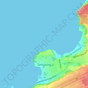
Name: Tamuning topographic map, elevation, terrain.
Location: Tamuning, Guam, United States of America (13.47940 144.76759 13.54411 144.82130)
Average elevation: 14 m
Minimum elevation: 0 m
Maximum elevation: 117 m