
Thank you for supporting this site ❤️
Make a donation
Make a donation
Cernier topographic map
Click on the map to display elevation.
Thank you for supporting this site ❤️
Make a donation
Make a donation
About this map
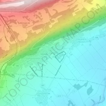
Name: Cernier topographic map, elevation, terrain.
Location: Cernier, Val-de-Ruz, Neuchâtel, 2053, Switzerland (47.03945 6.88538 47.07945 6.92538)
Average elevation: 925 m
Minimum elevation: 709 m
Maximum elevation: 1,395 m
Thank you for supporting this site ❤️
Make a donation
Make a donation