
Thank you for supporting this site ❤️
Make a donation
Make a donation
Ryhill topographic map
Click on the map to display elevation.
Thank you for supporting this site ❤️
Make a donation
Make a donation
About this map
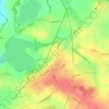
Name: Ryhill topographic map, elevation, terrain.
Location: Ryhill, Wakefield, West Yorkshire, England, United Kingdom (53.61649 -1.43262 53.63995 -1.39864)
Average elevation: 76 m
Minimum elevation: 44 m
Maximum elevation: 103 m
Thank you for supporting this site ❤️
Make a donation
Make a donation
Other topographic maps
Click on a map to view its topography, its elevation and its terrain.