
北谷町 topographic map
Interactive map
Click on the map to display elevation.
About this map
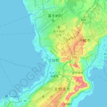
Name: 北谷町 topographic map, elevation, terrain.
Location: 北谷町, 中頭郡, Prefectura de Okinawa, Japón (26.29319 127.65668 26.34617 127.78589)
Average elevation: 34 m
Minimum elevation: -1 m
Maximum elevation: 173 m