
Débrimou topographic map
Interactive map
Click on the map to display elevation.
About this map
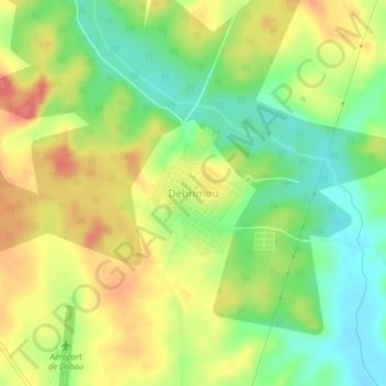
Name: Débrimou topographic map, elevation, terrain.
Location: Débrimou, Grands-Ponts, Lagunes, Côte d'Ivoire (5.34716 -4.41018 5.38716 -4.37018)
Average elevation: 41 m
Minimum elevation: 5 m
Maximum elevation: 80 m
Other topographic maps
Click on a map to view its topography, its elevation and its terrain.
Tiassale
Tiassale, Agnéby-Tiassa, Lagunes, Côte d'Ivoire
Average elevation: 36 m