
Thank you for supporting this site ❤️
Make a donation
Make a donation
Harned topographic map
Click on the map to display elevation.
Thank you for supporting this site ❤️
Make a donation
Make a donation
About this map
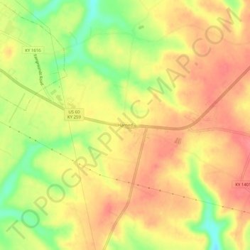
Name: Harned topographic map, elevation, terrain.
Location: Harned, Breckinridge County, Kentucky, 40144, United States (37.73173 -86.43359 37.77173 -86.39359)
Average elevation: 225 m
Minimum elevation: 181 m
Maximum elevation: 251 m
Thank you for supporting this site ❤️
Make a donation
Make a donation
Other topographic maps
Click on a map to view its topography, its elevation and its terrain.