
Thanadhar topographic map
Interactive map
Click on the map to display elevation.
About this map
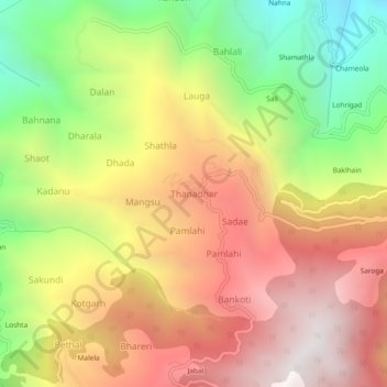
Name: Thanadhar topographic map, elevation, terrain.
Location: Thanadhar, Kumharsain, Shimla, Himachal Pradesh, 172030, India (31.30233 77.46990 31.34233 77.50990)
Average elevation: 1,850 m
Minimum elevation: 971 m
Maximum elevation: 2,625 m