
San Pietro Island topographic map
Interactive map
Click on the map to display elevation.
About this map
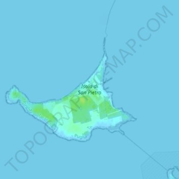
Name: San Pietro Island topographic map, elevation, terrain.
Location: San Pietro Island, Taranto, Apulia, Italy (40.44465 17.14129 40.46032 17.16727)
Average elevation: 0 m
Minimum elevation: -2 m
Maximum elevation: 11 m