
Walton Highway topographic map
Interactive map
Click on the map to display elevation.
About this map
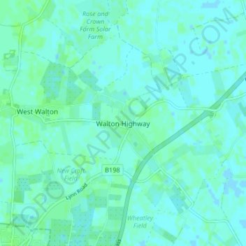
Name: Walton Highway topographic map, elevation, terrain.
Average elevation: 3 m
Minimum elevation: -2 m
Maximum elevation: 6 m
Other topographic maps
Click on a map to view its topography, its elevation and its terrain.
Walpole St Andrew
United Kingdom > England > Norfolk > King's Lynn and West Norfolk
Walpole St Andrew, King's Lynn and West Norfolk, Norfolk, England, PE14 7LL, United Kingdom
Average elevation: 3 m
Sandringham
United Kingdom > England > Norfolk > King's Lynn and West Norfolk
Sandringham, King's Lynn and West Norfolk, Norfolk, England, United Kingdom
Average elevation: 8 m