
Gowari topographic map
Interactive map
Click on the map to display elevation.
About this map
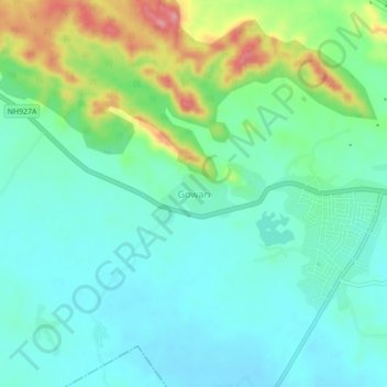
Name: Gowari topographic map, elevation, terrain.
Location: Gowari, Sagwara Tehsil, Dungarpur District, Rajasthan, India (23.64418 73.97017 23.68418 74.01017)
Average elevation: 178 m
Minimum elevation: 144 m
Maximum elevation: 271 m