
Bhimashankar topographic map
Click on the map to display elevation.
About this map
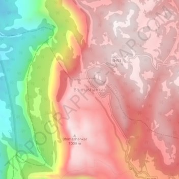
Name: Bhimashankar topographic map, elevation, terrain.
Location: Bhimashankar, Khed, Pune District, Maharashtra, India (19.05200 73.51576 19.09200 73.55576)
Average elevation: 749 m
Minimum elevation: 165 m
Maximum elevation: 1,047 m
Other topographic maps
Click on a map to view its topography, its elevation and its terrain.