
Mojosongo topographic map
Interactive map
Click on the map to display elevation.
About this map
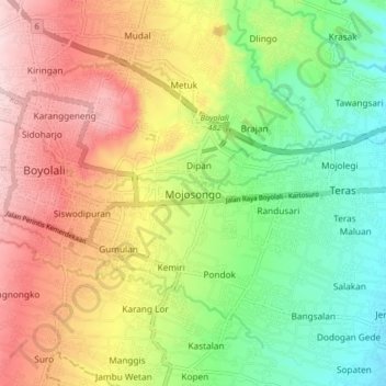
Name: Mojosongo topographic map, elevation, terrain.
Location: Mojosongo, Boyolali, Java central, Jawa, 57322, Indonésie (-7.57619 110.58847 -7.49619 110.66847)
Average elevation: 318 m
Minimum elevation: 184 m
Maximum elevation: 478 m