
أولاد إبراهيم topographic map
Interactive map
Click on the map to display elevation.
About this map
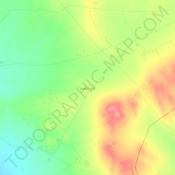
Name: أولاد إبراهيم topographic map, elevation, terrain.
Location: أولاد إبراهيم, الصخيرات, معتمدية فريانة, Kasserine, Tunisia (34.83230 8.31726 34.87230 8.35726)
Average elevation: 810 m
Minimum elevation: 760 m
Maximum elevation: 867 m