
Portland topographic map
Interactive map
Click on the map to display elevation.
About this map
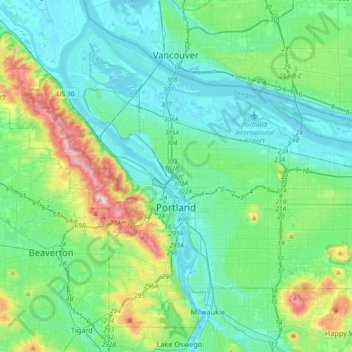
Name: Portland topographic map, elevation, terrain.
Location: Portland, Multnomah County, Oregon, États-Unis d'Amérique (45.43254 -122.83675 45.65288 -122.47203)
Average elevation: 77 m
Minimum elevation: -5 m
Maximum elevation: 382 m