
Chongli District topographic map
Interactive map
Click on the map to display elevation.
About this map
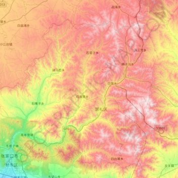
Name: Chongli District topographic map, elevation, terrain.
Location: Chongli District, Zhangjiakou, Hebei, 076300, China (40.77558 114.79643 41.29232 115.56923)
Average elevation: 1,448 m
Minimum elevation: 696 m
Maximum elevation: 2,165 m