
Barasat topographic map
Interactive map
Click on the map to display elevation.
About this map
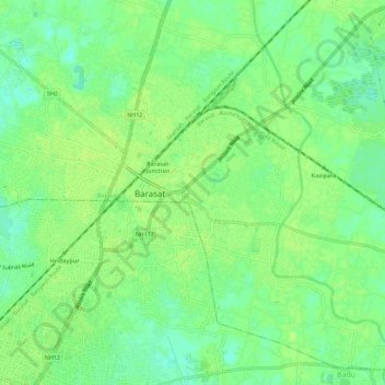
Name: Barasat topographic map, elevation, terrain.
Location: Barasat, Barasat - I, North 24 Parganas, West Bengal, India (22.69300 88.45560 22.74550 88.50360)
Average elevation: 9 m
Minimum elevation: 0 m
Maximum elevation: 12 m
Its average elevation is 11 metres (36 ft). The nearest river is the Ganges, about 15 kilometres (9.3 mi) to the west, and it is on the Gangetic plain.