
کشیت topographic map
Interactive map
Click on the map to display elevation.
About this map
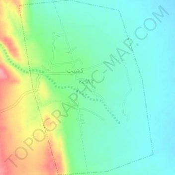
Name: کشیت topographic map, elevation, terrain.
Location: کشیت, دهستان کشیت, بخش گلباف, شهرستان کرمان, استان کرمان, Irã (29.83536 58.13145 29.86305 58.15591)
Average elevation: 423 m
Minimum elevation: 389 m
Maximum elevation: 500 m