
Gauchar topographic map
Interactive map
Click on the map to display elevation.
About this map
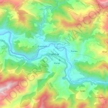
Name: Gauchar topographic map, elevation, terrain.
Location: Gauchar, Garhwāl, Chamoli, Uttarakhand, India (30.24931 79.11787 30.32931 79.19787)
Average elevation: 1,197 m
Minimum elevation: 677 m
Maximum elevation: 2,110 m