
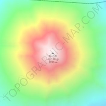
Küçük Ağrı Dağı topographic map
Interactive map
Click on the map to display elevation.
About this map
Name: Küçük Ağrı Dağı topographic map, elevation, terrain.
Average elevation: 3,237 m
Minimum elevation: 2,724 m
Maximum elevation: 3,890 m
Other topographic maps
Click on a map to view its topography, its elevation and its terrain.
Alıntepe
Turquie > Doğubeyazıt > Alıntepe
Alıntepe, Doğubeyazıt, Ağrı, Doğu Anadolu Bölgesi, Turquie
Average elevation: 1,785 m