
Geseke topographic map
Interactive map
Click on the map to display elevation.
About this map
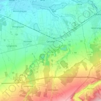
Name: Geseke topographic map, elevation, terrain.
Location: Geseke, Kreis Soest, Noordrijn-Westfalen, 59590, Duitsland (51.56861 8.41191 51.68853 8.58712)
Average elevation: 149 m
Minimum elevation: 80 m
Maximum elevation: 320 m