
Sarkhej topographic map
Interactive map
Click on the map to display elevation.
About this map
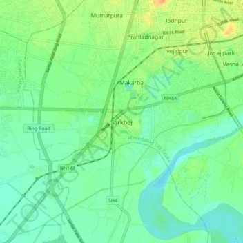
Name: Sarkhej topographic map, elevation, terrain.
Location: Sarkhej, Vejalpur Taluka, Ahmedabad, Gujarat, 380051, India (22.94348 72.46072 23.02348 72.54072)
Average elevation: 42 m
Minimum elevation: 31 m
Maximum elevation: 62 m