
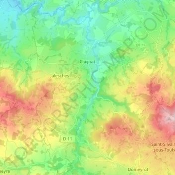
Clugnat topographic map
Interactive map
Click on the map to display elevation.
About this map
Name: Clugnat topographic map, elevation, terrain.
Average elevation: 402 m
Minimum elevation: 283 m
Maximum elevation: 605 m
L'altitude minimum et maximum de Clugnat sont respectivements de 287 m et 537 m. La mairie est située à 340 mètres environ.