
Kaundorf topographic map
Interactive map
Click on the map to display elevation.
About this map
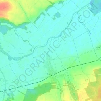
Name: Kaundorf topographic map, elevation, terrain.
Location: Kaundorf, gmina Nysa, powiat nyski, Woiwodschaft Oppeln, Polen (50.46784 17.40828 50.49444 17.46208)
Average elevation: 187 m
Minimum elevation: 173 m
Maximum elevation: 220 m
Other topographic maps
Click on a map to view its topography, its elevation and its terrain.
Neisse
Polen > Woiwodschaft Oppeln > powiat nyski
Neisse, gmina Nysa, powiat nyski, Woiwodschaft Oppeln, Polen
Average elevation: 202 m