
Loni topographic map
Interactive map
Click on the map to display elevation.
About this map
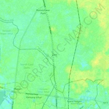
Name: Loni topographic map, elevation, terrain.
Location: Loni, Ghaziabad, Uttar Pradesh, 110094, India (28.69173 77.25009 28.77173 77.33009)
Average elevation: 209 m
Minimum elevation: 202 m
Maximum elevation: 217 m
Loni is located at 28°45′N 77°17′E / 28.75°N 77.28°E / 28.75; 77.28. It has an average elevation of 283 metres (928 ft).