
Podia topographic map
Interactive map
Click on the map to display elevation.
About this map
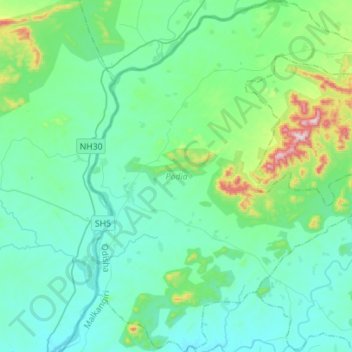
Name: Podia topographic map, elevation, terrain.
Location: Podia, Malkangiri, Orissa, India (18.05660 81.50725 18.32157 81.72468)
Average elevation: 180 m
Minimum elevation: 88 m
Maximum elevation: 650 m