
Arborn topographic map
Interactive map
Click on the map to display elevation.
About this map
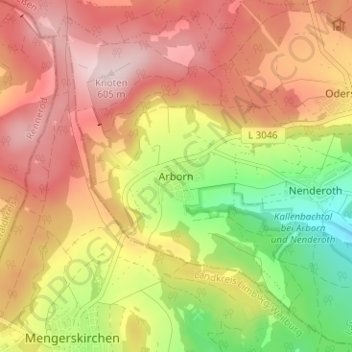
Name: Arborn topographic map, elevation, terrain.
Location: Arborn, Lahn-Dill-Kreis, Hessen, 35794, Duitsland (50.56370 8.15357 50.60370 8.19357)
Average elevation: 465 m
Minimum elevation: 283 m
Maximum elevation: 610 m