
Raytown topographic map
Interactive map
Click on the map to display elevation.
About this map
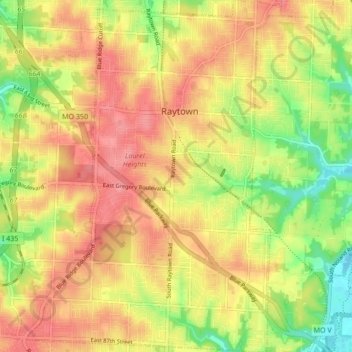
Name: Raytown topographic map, elevation, terrain.
Location: Raytown, Jackson County, Missouri, United States of America (38.96365 -94.49918 39.02968 -94.43764)
Average elevation: 289 m
Minimum elevation: 239 m
Maximum elevation: 325 m