
Kalur topographic map
Interactive map
Click on the map to display elevation.
About this map
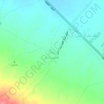
Name: Kalur topographic map, elevation, terrain.
Location: Kalur, Guldiza, Kirkuk, Iraq (35.63442 44.26753 35.65442 44.28753)
Average elevation: 341 m
Minimum elevation: 319 m
Maximum elevation: 399 m