
Attari topographic map
Interactive map
Click on the map to display elevation.
About this map
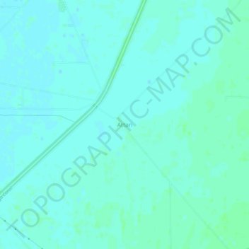
Name: Attari topographic map, elevation, terrain.
Location: Attari, Muktsar Tahsil, Muktsar, Punjab, India (30.53824 74.41697 30.57824 74.45697)
Average elevation: 191 m
Minimum elevation: 188 m
Maximum elevation: 195 m