
Sigigen topographic map
Interactive map
Click on the map to display elevation.
About this map
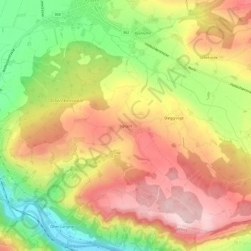
Name: Sigigen topographic map, elevation, terrain.
Location: Sigigen, Ruswil, Luzern, 6019, Schweiz (47.04387 8.11414 47.08387 8.15414)
Average elevation: 702 m
Minimum elevation: 525 m
Maximum elevation: 854 m