
Chilling topographic map
Interactive map
Click on the map to display elevation.
About this map
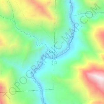
Name: Chilling topographic map, elevation, terrain.
Location: Chilling, Khaltsi, Leh district, Ladakh, India (34.01852 77.18285 34.05852 77.22285)
Average elevation: 3,571 m
Minimum elevation: 3,166 m
Maximum elevation: 4,352 m